Browse categories
Explore
Fiverr Pro
English
$
USD



Welcome to Professional Spatial Data Science, Advanced Density Mapping, and Hotspots Analytics Service!
Are you looking to transform raw coordinate data, CSVs, or shapefiles into highly professional, analytical, and executive-ready geospatial layouts? You are at the right place!
As a Spatial Data Analyst with an Engineering background, I do not just plot points on a map. I analyze density, calculate statistical risks, and design cartographic products aligned with professional industry standards.
What I Offer in This Gig:
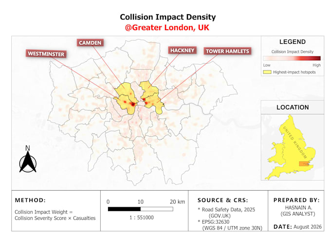
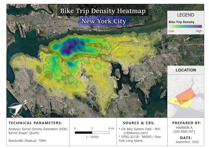
- Advanced Hotspot & Heatmap Analysis (Kernel Density Estimation)
- Risk Matrix & Spatial Vulnerability Assessments (Overlay Analysis)
- High-Quality Executive Layouts (Including Scale bars, North Arrow, Legends, and Methodology Breakdown)
- Spatial Querying and Vector/Raster Data Processing using QGIS
Why Choose Me?
- Custom Formulas: I can weigh your data based on custom attributes (e.g., Impact = Severity Score × Casualties).
- Clean Cartography: Clean colors, proper CRS alignment, and publication-ready formatting.
- Engineering Mindset: Analytical approach to urban planning, road safety, and environmental data.
Please inform the freelancer of any preferences or concerns regarding the use of AI tools in the completion and/or delivery of your order.
GIS Analyst, QGIS Mapping, Spatial Analysis, OpenStreetMap
Languages
Can you perform calculations on my raw data before mapping?
Yes, absolutely! I can process your raw data using specific weights or custom multi-criteria assessment formulas before generating the spatial density or risk index.
What GIS software do you standardly use?
I use QGIS Software.