Browse categories
Explore
Fiverr Pro
English
$
USD

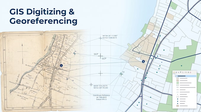
Need a scanned map, PDF, or old document turned into usable GIS data? I georeference and digitize using QGIS and ArcGIS Pro, turning raw source material into clean, accurate vector layers or aligned raster maps.
What I offer:
I run a QA pass on every delivery before it goes out no messy, unusable geometry.
Supported source types: urban/zoning plans, cadastral and parcel maps, historical/archival documents, real estate plot scans, and general reference maps.
Send your source file and I'll confirm scope before you order.
GIS Analyst
Languages
What source file formats do you accept?
Scanned images (JPG, PNG, TIFF), PDFs, or existing raster files. Higher resolution scans give more accurate results, but I can work with lower-quality sources too.
What if I don't know the coordinate system of my source map?
That's fine — I can determine or estimate it based on known landmarks, grid lines, or reference points in the source material.
Can you handle very old or low-quality scans?
Yes, I've worked with historical/ethnographic maps and older survey scans. Accuracy depends on source quality, but I'll flag any limitations before starting.
Do you also design/style the final map or run spatial analysis?
Those are handled in my separate gigs — this one is focused specifically on converting your source material into clean, usable GIS data.
What output formats can you deliver?
Shapefile, GeoJSON, KML, or GeoTIFF, depending on your needs. Source project files (.qgz/.aprx) are included in the Premium package.
