Browse categories
Explore
Fiverr Pro
English
$
USD
Data entry specialist
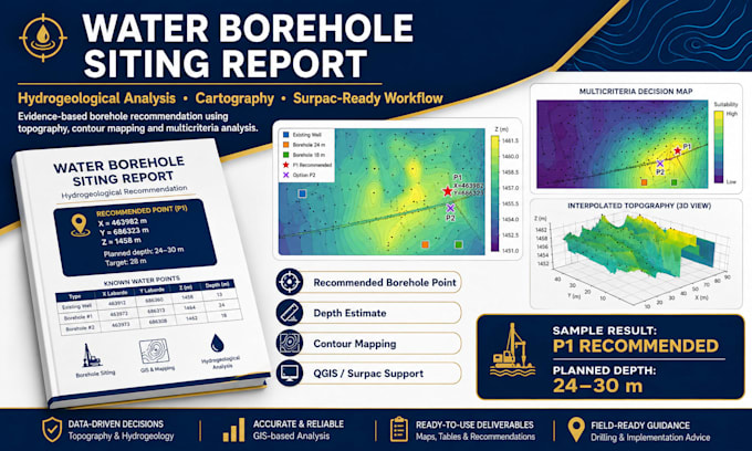
Need a technically clear location for a water borehole from GPS, topographic, existing-well or field data?
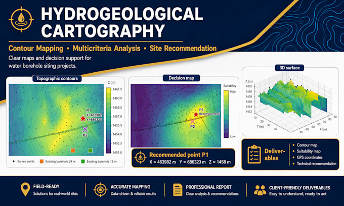
I will analyze your available data and prepare a professional water borehole siting / recommendation package using GIS and hydrogeological decision-support methods.
Depending on the package and the data you provide, the work may include:
Cleaning and checking GPS / X-Y-Z data
Topographic terrain analysis
DEM / local terrain model and contour mapping
Existing well / borehole comparison
Low-zone, drainage and morphology interpretation
Multi-criteria target ranking
Primary and alternative drilling locations
Indicative drilling-depth planning based on available evidence
Professional maps and technical recommendation report
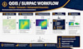
QGIS-ready outputs and workflow notes for further technical use
This service is suitable for NGOs, water projects, communities, drilling contractors, consultants, researchers and private clients who already have field data and need a clear desktop analysis before final site validation.


Expertise:
Data flow
•
Data manipulation
•
Data validation
•
SQL
Technology:
Excel
•
Google Sheets
•
Java
•
MATLAB
•
Python
Can you guarantee that I will find water?
No. No responsible desktop analysis can guarantee groundwater. I provide a technically supported recommendation based on the available data and clearly state the limits. Final on-site validation is strongly recommended.
Can you tell me the exact drilling depth?
I can propose an indicative depth range when the available evidence supports it, especially when nearby borehole depths, geology or geophysics are available. Exact depth can change during drilling because fractures, weathering and groundwater levels vary.
What data do you need?
At minimum: site location, coordinate system and GPS/field data. Existing well/borehole coordinates, depths, yields, geological information and VES/ERT results significantly improve the analysis.
Can you work with only GPS coordinates and photos?
Yes for a preliminary screening, but confidence will be lower. I will explain what can and cannot be concluded from the available data.
Can you work with Laborde, UTM or WGS84 coordinates?
Yes, provided the coordinate system is clearly identified and the data are internally consistent.
Do you provide QGIS files?
QGIS-ready outputs can be included in Standard/Premium when applicable. Please message me before ordering if you specifically need a QGIS project file or a particular GIS format.
Do you provide Surpac or ENVI native files?
The standard service focuses on GIS analysis and reporting. Surpac/ENVI workflow notes or compatible exports can be discussed, but native deliverables must be agreed before ordering.
Can you interpret VES or ERT data?
If you already have results or interpreted sections, I can integrate them into the site-selection workflow. Raw geophysical processing is a separate scope and should be discussed before ordering.
Will the report be suitable for a drilling contractor?
The report can provide candidate locations, maps and planning information, but the contractor and responsible technical professional should validate the final field location and execution requirements.
Are my project coordinates confidential?
Yes, treat them as confidential project data. I will not intentionally publish them. For public portfolio use, coordinates should be hidden unless you explicitly authorize disclosure.