Browse categories
English
$
USD
Connect to your AI

Level 1
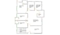
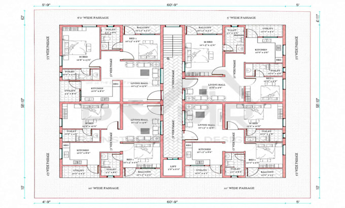
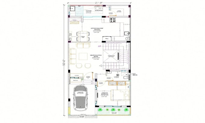
Need a clear 2D site plan that actually makes sense to whoever's looking at it? Let's talk.
I put together SITE PLANS, PLOT PLANS, PROPERTY LAYOUTS and ARCHITECTURAL SITE PLANS for residential, commercial and real estate projects. Send me your survey, dimensions, sketch, PDF, image or CAD file, and I'll turn it into a plan you can actually use.
WHAT'S INCLUDED:
YOU'LL RECEIVE:
PDF file
DWG/CAD source file
WHO THIS IS FOR:
Homeowners Architects Builders Contractors Developers Real Estate Professionals
WHY WORK WITH ME:
I focus on layout, dimensions and presentation so the plan is easy to follow built around what you actually need, not a generic template.
TO GET STARTED, send over your site dimensions or survey, building requirements, access/parking notes, any reference images, and special instructions.
Contact Now and let's get your plan started.
Please inform the freelancer of any preferences or concerns regarding the use of AI tools in the completion and/or delivery of your order.
Professional PCB Designer ,FPGA Embedded Systems Engineer
Level 1
Languages
What information do you need from me to get started?
Just send whatever you have — a survey, rough sketch, dimensions, a PDF, photos of the site, or an existing CAD file. The more detail you give me, the closer the first draft will land to what you're picturing.
Do I need to have exact measurements?
Not necessarily. If you have a survey or precise dimensions, great — that speeds things up. If you only have rough measurements or a sketch, I can still work with that, but keep in mind the plan will only be as precise as the info provided.
Can you work from a hand-drawn sketch or a Google Maps screenshot?
Yes, I can use those as a starting reference. Just note that a plan built from a rough sketch or satellite image is meant to give a clear visual layout — it's not a substitute for a licensed survey if you need something for permits o
What file formats will I receive?
You'll get a PDF and the DWG/CAD source file, so you can open and edit it further if needed.
Is this plan suitable for permits or official submissions?
That depends on your local requirements — some jurisdictions need a plan stamped by a licensed surveyor or engineer. I can build the layout and drafting, but I'd recommend checking with your local permitting office on what's officially requi