Browse categories
Explore
Fiverr Pro
English
$
USD

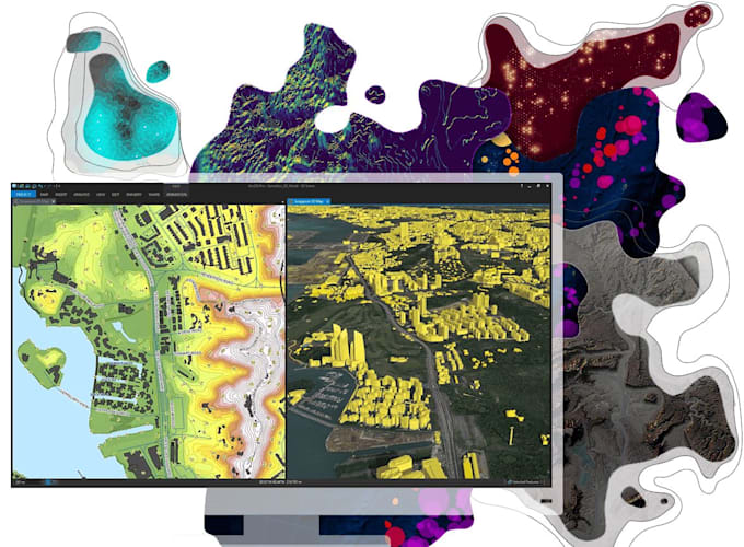

A scanned map is not GIS data simply because it has been placed in QGIS. It needs to be correctly georeferenced, digitized, structured and validated before the resulting layers can be trusted for measurement or analysis.
I handle the workflow from source map to usable spatial data. That means selecting suitable control points, checking coordinate reference systems, digitizing features at an appropriate scale, preserving geometry and attributes, and using Python when repetitive processing makes manual work inefficient.
Key GIS work I can handle:
SEND A MESSAGE TO GET STARTED
ALERT!!!
Languages
Can you georeference a scanned map in QGIS?
Yes. I can georeference scanned maps, plans, aerial imagery and other raster sources in QGIS using appropriate ground control points and coordinate reference systems, then verify the resulting alignment.
Can you digitize features from a georeferenced map?
Yes. I can digitize points, lines and polygons from georeferenced raster data and organise the resulting vector layers with appropriate attributes.
What types of features can you digitize in QGIS?
I can digitize roads, boundaries, parcels, buildings, waterways, land-use areas, locations and other mappable features depending on the source data and project requirements.
Can you create vector maps from raster or scanned maps?
Yes. I can convert relevant mapped features into structured point, line or polygon vector layers that can be edited, analysed and reused in QGIS.
Can you fix inaccurate or poorly aligned georeferencing?
Yes. I can review the existing georeferencing, control points, CRS and transformation settings to identify alignment problems and improve the result where the source data allows it.
Can you clean and validate my QGIS vector data?
Yes. I can review geometry, attributes and layer structure and identify issues such as invalid geometries, overlaps, gaps or inconsistent feature information.
Can you create and populate attribute tables?
Yes. I can structure attribute fields and populate the required information so your digitized vector data is useful for querying, filtering and spatial analysis.
Can you automate repetitive QGIS tasks with Python?
Yes. I can use Python for suitable repetitive GIS workflows, such as batch processing, data preparation, layer operations, attribute processing and other tasks where automation can reduce manual work.
Can you work with existing GIS data?
Yes. I can work with suitable existing spatial datasets and help clean, restructure, edit, digitize or prepare them for further GIS analysis.
