Browse categories
Explore
Fiverr Pro
English
$
USD
Ukraine
I will create a Python script to calculate distances from CSV data
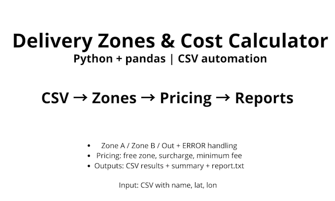
I will build a clean Python tool that processes your CSV file with geographic coordinates (latitude/longitude) and generates delivery zone + pricing reports.
What I can do:
- Validate coordinates and mark invalid rows as ERROR
- Calculate distances from your warehouse to each client (Haversine)
- Assign delivery zones (Zone A / Zone B / Out of delivery zone)
- Apply pricing rules (free delivery, surcharge, minimum fee)
- Export business-ready output files
You will receive:
- results_pandas.csv (full results)
- deliverable_clients.csv (only deliverable clients)
- top_expensive_deliveries.csv (top 10 most expensive deliveries)
- zone_summary.csv (counts + revenue by zone)
- report.txt (human-readable summary)
What I need from you:
- Your CSV file (columns: name, lat, lon)
- Warehouse coordinates (lat, lon)
- Zone thresholds (A max km, B max km)
- Pricing rules (cost per km, surcharge, minimum fee)
Fast communication, clear output, and simple setup.