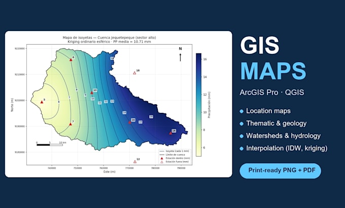
Geology student (9th semester, Universidad Privada del Norte, Peru) with hands-on experience in ArcGIS Pro, QGIS and AutoCAD Civil 3D. I create clean, print-ready maps for theses, reports and projects: location maps, geological and thematic maps, watershed and hydrology maps (basins, drainage, isohyets), and I digitize scanned maps into shapefiles or DWG. I also automate data tasks with Python. Native Spanish speaker (basic English, written communication preferred). Clear communication, on-time delivery and revisions until you are happy.... Read more