Browse categories
Explore
Fiverr Pro
English
$
USD



Need an accurate, print-ready geological map for a thesis, paper, report or exploration project? I'm Ivy, a geology and GIS mapper, and I build clean geological maps in ArcGIS and QGIS.
WHAT YOU GET
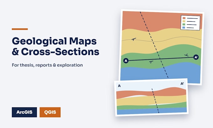
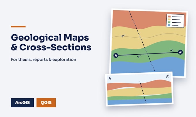
Geological maps (site, study-area or regional)
Cross-sections (AA') and stratigraphic columns
Georeferencing and digitizing of scanned maps
Structural mapping: strike/dip, faults, folds, rose diagrams
Topographic base: DEM, hillshade, contours, drainage
Legend, scale bar, grid, coordinate system
WHAT I NEED
Your area (coordinates, KML or shapefile), field data or reference maps, scale, and the map's purpose. No data? I can use open geological and elevation datasets and credit them.
WHY ME
- Geology first: I understand units, contacts and structure, not just styling
- Fast replies, clear revisions
- Source files available
Message me before ordering with your area and purpose and I'll recommend the right package.
Geologic Mapping and Cross Section Specialist
Languages
Do you work from my data or open data?
Either. I use your field data or reference maps if you have them, otherwise open geological and elevation datasets, credited.
Can you digitize a scanned paper map?
Yes. I georeference it and digitize units, contacts and faults.
Which formats do you deliver?
PNG and PDF, plus shapefiles or the project file where your package includes source files.
Can you match a university or journal style?
Yes. Send the guidelines or an example map