Browse categories
Explore
Fiverr Pro
English
$
USD

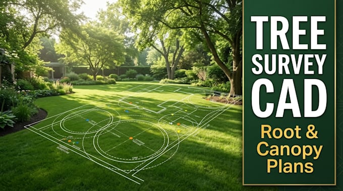

Need an accurate graphic layout of the tree structures, canopy spreads, and critical root locations on your property? Clear layout documentation is vital for mapping outdoor developments and organizing construction staging.
I provide expert 2D site map formatting and tree location plan drafting using your provided arborist schedules or field logs. I translate raw inventory numbers and survey points into clean, beautifully layered CAD drawing sheets.
What this service handles:
Plotting tree nodes and canopy sizes onto your existing base layouts
Mapping critical root zones based on your provided stem diameters
Formatting clean, layered landscape maps optimized for developer review
What I need from you:
1. Your field inventory notes or charts detailing coordinates and sizing lists.
2. An existing property boundary map or layout sketch (AutoCAD .DWG is preferred).
Note: This service covers technical drafting and graphic layout formatting based on provided records. It does not include onsite inspections, tree health diagnostics, or independent risk reports unless agreed.
Message me with your data charts today to secure a clean site map layer!
Fiverr does not screen freelancers in this category. Please verify qualifications and discuss requirements with the freelancer before ordering, including any preferences regarding the use of AI tools.
Manager
Languages
Do you conduct independent physical field testing or on-site surveying?
No. This is a technical graphic drafting service. I translate the coordinate logs, land measurements, and specific tree charts that you or your local field team provide into a scaled digital system.
Can you work from a satellite photograph or Google Earth image?
Yes. If you provide a high-resolution satellite layout or plot screenshot alongside at least one or two primary continuous baseline dimensions, I can align the workspace to chart your tree locations.
What formatting rules do you use to map out different tree classifications?
I follow standard color-coding protocols on distinct CAD layers. This ensures your canopy spans, root rings, and retention zones are clear, sharp, and instantly readable for your field contractors.
