Are you looking for professional GIS mapping and spatial analysis using ArcGIS Pro?
I can help you create accurate, clear, and professional GIS maps and perform a wide range of spatial analysis tasks using ArcGIS Pro.
What I can do for you:
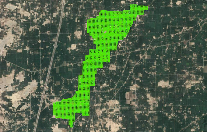
- Professional GIS map creation
- Spatial analysis and geospatial analysis
- Vector and raster data analysis
- Buffer analysis
- Clip, Intersect, Union and Spatial Join
- Overlay analysis
- Proximity analysis
- Select by Location
- Attribute and spatial queries
- Thematic and choropleth maps
- Land Use/Land Cover (LULC) mapping
- Raster analysis
- DEM and terrain analysis
- Slope and elevation analysis
- Spatial interpolation
- IDW analysis
- Kernel density analysis
- Hot Spot analysis
- Georeferencing
- Coordinate system and projection setup
- Data cleaning and preparation
- Map layouts, legends, scale bars and north arrows
- Professional map visualization and cartography
- Export maps to PDF, PNG, JPG and other formats
Why choose my service?
Professional ArcGIS Pro workflow
Accurate and well-organized GIS analysis
High-quality map layouts
Clear communication
Attention to detail
On-time delivery
Customized solutions based on your project requirements