Transform Your Static Data into an Engaging Interactive Web GIS Experience!
I am a specialist in Web GIS development, combining expertise in geospatial analysis with modern web technologies to create maps that are not just visually appealing, but truly functional for decision-making.
What You Will Get:
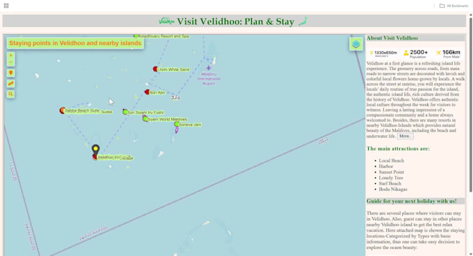
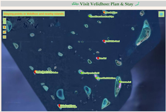
A fully interactive web map that allows you and your users to:
- Visualize your data points, lines, and areas on a beautiful map.
- Click on features to see detailed information in pop-up windows.
- Search and Filter data based on your attributes.
- Toggle Layers on and off to compare different datasets.
- Advanced features like heatmaps (for density visualization) and marker clustering (for large datasets).
You'll get a simple website file that you can:
- Open instantly in any web browser (Chrome, Firefox, etc.)
- Easily share via email
- Upload to your website
Why Choose Me:
- Clean, responsive, and interactive design
- Tailored solutions based on your use case (urban planning, real estate, environment, logistics, etc.)
- Fast delivery & ongoing support
- Clear communication