Browse categories
English
$
USD
Connect to your AI


Want your game set in a real place? We turn real elevation data, LiDAR scans and aerial photos into Unity terrain. You get accurate height, ground color from real imagery, and vegetation placed where it actually grows.
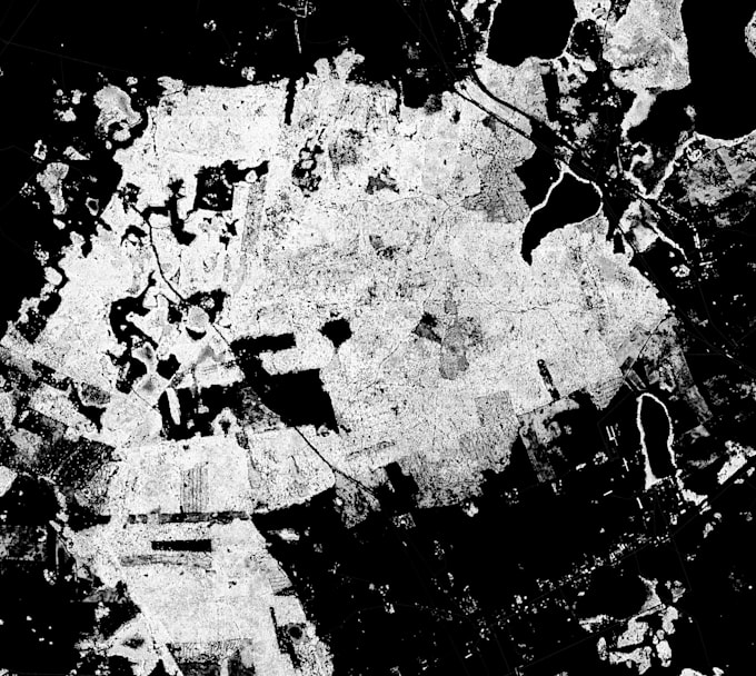
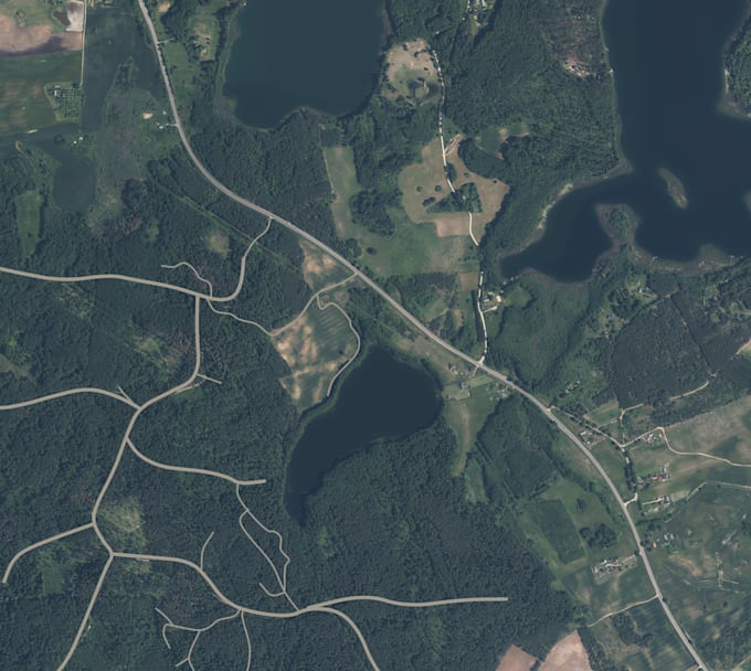
We built a 4.6 × 4.1 km Lithuanian forest this way for our orienteering game. The terrain comes from LiDAR scans, the ground color from aerial photos, and trees and grass are placed from canopy data (see portfolio).
Good for:
Simulation and training projects
Games set in real locations
Drone, hiking or GIS visualizations
Architecture and site previews
Send us the location before ordering. The quality depends on the data available for that area, so well check it first and confirm whats possible.
I make indie video games
Languages
Can you do any place in the world?
Most places, yes. Detail depends on the free data available. Many countries have high-resolution LiDAR (most of Europe, the US, the UK). Elsewhere we use coarser global data (about 30 m resolution), which works for mountains but not for small details.
Which render pipeline?
The terrain works in Built-in, URP and HDRP. Vegetation and lighting (Premium) are set up for the pipeline you choose, so tell us which one you use.
Can I use it commercially?
Yes. Most government map data is open for commercial use, and we check the license for your area before starting.
Can you add buildings, rivers or roads?
Roads, yes, as an extra. For buildings or other features, message us first.