Browse categories
Explore
Fiverr Pro
English
$
USD


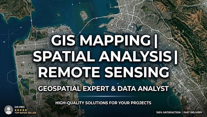
HELLO, WELCOME TO MY GIG,
Are you looking for professional GIS mapping, spatial analysis, and geospatial data visualization services to transform your geographic data into clear, actionable insights?
I am a GIS and Spatial Analysis Specialist passionate about transforming geographic data into actionable insights. From custom mapping and spatial analysis to remote sensing and data visualization, I deliver accurate, high-quality solutions tailored to your needs.
WHAT I OFFER
MY EXPERTISE INCLUDES, BUT IS NOT LIMITED TO:
READY TO BRING YOUR GIS PROJECT TO LIFE?
Message me today to discuss your requirements, or place your order now and let's turn your spatial data into valuable insights and professional mapping
My priority is ensuring 100 percent client satisfaction
Languages
What information do you need to get started on my GIS project?
To begin, please provide your project requirements, study area/location, available datasets (shapefiles, coordinates, satellite imagery, etc.), preferred output format, and any specific instructions or reference materials.
What types of GIS and spatial analysis services do you offer?
I offer GIS mapping, spatial analysis, geospatial data visualization, remote sensing, land use and land cover classification, change detection analysis, web mapping, geodatabase management, and GIS report writing.
Can you work with satellite imagery and remote sensing data?
Yes. I specialize in processing and analyzing satellite imagery for land cover mapping, environmental monitoring, change detection, vegetation analysis, hydrological studies, and other remote sensing applications.
Can you create custom maps and visualizations for my specific project?
Absolutely. Every project is tailored to the client's needs. Whether you need thematic maps, business location analysis, environmental assessments, urban planning maps, or interactive web maps, I can provide customized solutions that align with your objectives.