Browse categories
English
$
USD
Connect to your AI
Hello There!
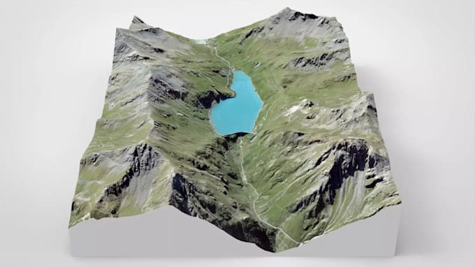
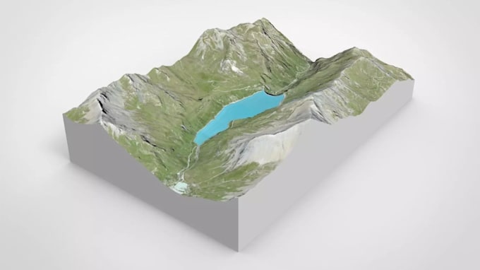
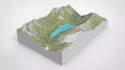
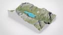
Do you need a 3D-printable terrain model, relief map, or topographic landscape?Look no further!
I specialize in in transforming DEM data, contour lines, topographic maps, and real-world elevation data into detailed 3D terrain models optimized for visualization, presentations, simulations, construction planning, GIS projects, and 3D printing . I deliver highly accurate, clean, and perfectly scaled terrain surface tailored exactly to your pipeline
What I Provide:
I'm committed to deliver high-quality work with attention to detail, ensuring your terrain model accurately represents the real landscape and meets your project requirements.
Let's turn your real-world landscape into a professional 3D model.
Please inform the freelancer of any preferences or concerns regarding the use of AI tools in the completion and/or delivery of your order.
3D Design
Languages