Browse categories
Explore
Fiverr Pro
English
$
USD


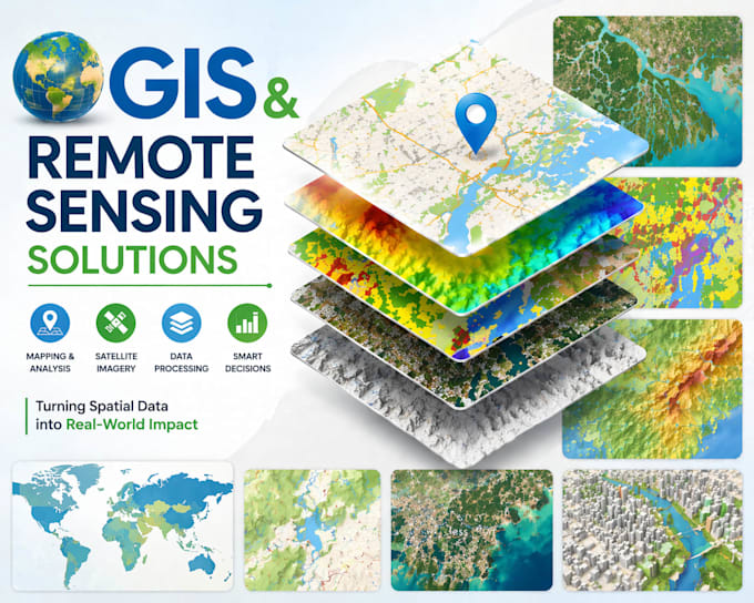
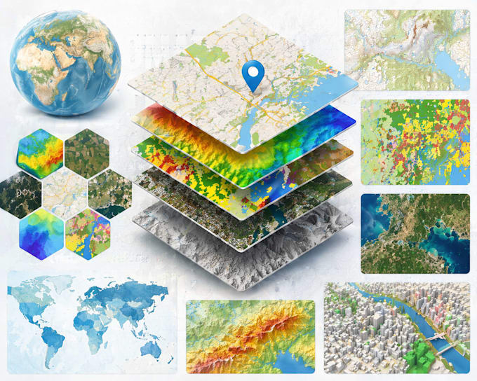
Transform raw geospatial data into actionable insights!
Specializing in ArcGIS, QGIS, ENVI, and Google Earth Engine for land use classification, change detection, flood mapping, urban planning, agriculture monitoring, and environmental analysis. I deliver professional maps, reports, and 3D visualizations for researchers, governments, NGOs, and businesses.
Core Services Include:
100% satisfaction guarantee with source files and detailed methodology. Perfect for academic papers, environmental impact assessments, and business intelligence. Message me your project scope for a free consultation!
Best Automation Solutions for Your Supply Chain and Logistics Needs
Languages
What file formats do you deliver?
Geotiff, shapefiles, KML, PDF maps, QGIS/ArcGIS projects, Google Earth overlays.
Which satellite data do you use?
Free: Landsat, Sentinel-2. Paid: PlanetScope, WorldView (client provides or I source).
Can you handle research projects?
Yes! I format results with methodology and accuracy assessment