Browse categories
Explore
Fiverr Pro
English
$
USD

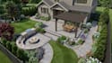
Professional site plan, property map, or landscape design that's clear enough for contractors, HOAs or your own vision to follow
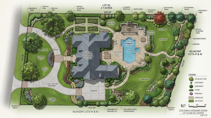
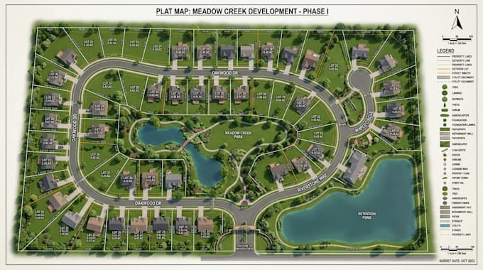
I turn your property survey, plat map, or rough sketch into a complete, scaled landscape plan covering site plans, property maps, hardscape layouts, and detailed planting plans. Every drawing clearly shows how hardscape elements like patios and walkways work together with softscape features like planting beds and lawn areas, giving you a plan that's both buildable and beautiful
What I Offer:
Why Choose Me:
Message with your property details now to get started
Please inform the freelancer of any preferences or concerns regarding the use of AI tools in the completion and/or delivery of your order.
Landscape Site Plan and Event Map Designer
Languages
Can you work from my property's plat map or survey?
Yes, send your plat, deed map, or survey and I'll use it as the base for your landscape plan.
Will this be suitable for HOA or architectural review board approval?
Yes, plans can be formatted to meet typical approval requirements — confirm your specific board's guidelines beforehand.
Can you include a detailed planting plan with plant types and quantities?
Yes, the Standard and Premium packages include a planting plan specifying species, placement, and quantities.
Do you design hardscape features like patios and walkways?
Yes, hardscape design is included, covering patios, walkways, retaining walls, and similar features.
Do I need an existing survey, or can you work from a sketch?
A sketch or rough layout works, but a survey or plat map improves accuracy.