Looking for a skilled GIS Developer to bring your mapping and spatial data projects to life? You're in the right place! I specialize in creating innovative, high-quality GIS solutions tailored to your needs.
What I Offer:
- Custom Web GIS Development using tools like Cesium, Potree, and Leaflet.
- Geospatial Analysis & Mapping with ArcGIS, QGIS, and other platforms.
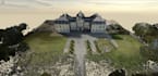
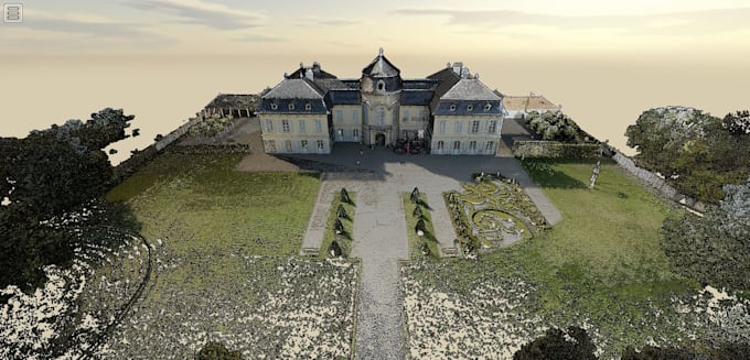
- 3D Mapping & Visualization for terrain models, point clouds, and more.
- Data Processing & Conversion (Shapefiles, GeoJSON, KML, etc.).
- Remote Sensing & Imagery Analysis for satellite and aerial data.
- Plugin Development & Customization to extend GIS tool functions.
Why Choose Me?
- Expertise: Skilled in Cesium, Potree, ArcGIS, QGIS, and more.
- Precision: High attention to detail for accurate, professional results.
- Timely Delivery: I respect your deadlines and deliver fast.
- Clear Communication: I prioritize updates and collaboration.
Lets discuss your project and bring your ideas to life!
Contact me today to get started.