Browse categories
Explore
Fiverr Pro
English
$
USD

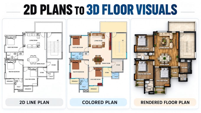
Need a clear property plot plan or site layout for your building or development project?
I create professional 2D site plans, property plot drawings and AutoCAD location maps for homeowners, contractors, property developers and landscape designers.
Whether you have survey documents, sketches or existing plans, I turn your supplied information into organized, dimensioned CAD drawings.
MY SERVICES INCLUDE:
WHY CHOOSE MY SERVICE?
I provide drafting support, not licensed land surveys, certified boundaries or guaranteed permit approval.
MESSAGE ME with your property documents and project requirements before ordering.
Please inform the freelancer of any preferences or concerns regarding the use of AI tools in the completion and/or delivery of your order.
Architectural CAD Designer And Draftsperson
Languages
Can you create a property plot plan for a building permit application?
I can draft site plans and plot drawings for review using your supplied property measurements, survey information and local requirements. Approval or certification by the relevant authority is not included.
What documents do you need to prepare my site plan?
Please provide an existing survey, lot dimensions, property records, site sketches or reference plans. Include the project address or location and the features you want shown.
Can you create a site plan from Google Maps or satellite images?
I can use suitable map imagery for preliminary location drawings and visual references. However, imagery alone cannot verify legal property boundaries, setbacks or survey grade dimensions.
Do you provide editable AutoCAD DWG files?
Yes. Standard and Premium packages include editable DWG files alongside PDF drawings. You can also request DWG files as an extra with the Basic package.
Can you prepare plot plans for properties in different countries?
Yes. I work with international clients using their supplied dimensions and documentation. Drawing conventions can be adapted to the project's requirements, while local compliance and certification remain the responsibility of qualified professionals.
