Geomatics Engineer, GIS Specialist, Cartography and Remote Sensing Expert
Senegal
Wolof, French, English
About me
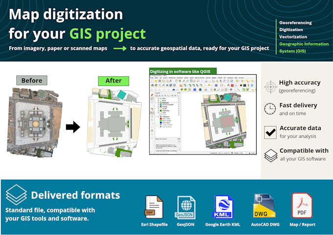
I'm Ahmed Khalil DIOUF, a Senior Geomatics Technician and Surveyor with proven expertise in Geographic Information Systems, Cartography, Remote Sensing, and Topographic Analysis and I bring damaged, faded or torn photos back to life with careful, natural-looking retouching. Two fields, one obsession: precision and detail. Every project gets a fast reply, clear communication and a revision until you’re happy. Fluent in French and English. Message me before ordering and tell me about your project!... Read more