Browse categories
English
$
USD
Connect to your AI

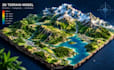
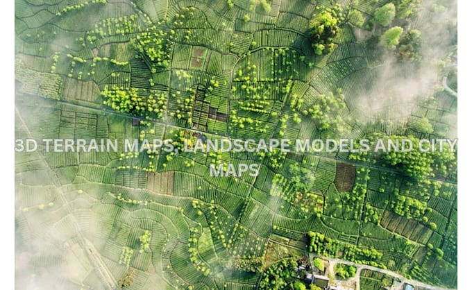
Need a custom 3D terrain map, city map, shaded relief map, or landscape model for your project?
I create detailed 3D maps and terrain visualizations using Blender and QGIS, transforming geographic data, reference images, and creative concepts into realistic digital models.
Whether you need a topographic map for research, a 3D city model for presentation, or a printable terrain model, I can help bring your location or idea into 3D.
MY SERVICES INCLUDE:
WHAT YOU CAN EXPECT:
Every project is different, so the level of detail and deliverables will depend on your requirements.
Message me with your location, map reference, or project idea before ordering.
Please inform the freelancer of any preferences or concerns regarding the use of AI tools in the completion and/or delivery of your order.
3D Terrain Modeling and GIS Visualization Expert
Languages
Can you create a 3D terrain map of any location?
Yes. I can create custom 3D terrain maps of locations where suitable geographic or elevation data is available. Please provide the location name, coordinates, or reference map so I can review your requirements.
Can you convert a 2D map into a 3D city map?
Yes. I can use suitable 2D maps, reference images, and geographic data to develop 3D city visualizations featuring roads, buildings, and surrounding terrain. The level of detail depends on your selected package.
Do you create shaded relief and topographic maps?
Yes. I create shaded relief maps, topographic visualizations, and elevation-based terrain models using Blender and QGIS. I can also customize the colors, terrain appearance, and presentation style.
What information do you need to begin?
I need your location, map reference, geographic coordinates, elevation data if available, preferred design style, output format, and intended use. You can also share examples of maps you like.