Browse categories
Explore
Fiverr Pro
English
$
USD

Are you looking for high-quality GIS mapping and geospatial analysis using ArcGIS?
You are in the right place! Im a Geologist & GIS specialist with hands-on experience in spatial data analysis, remote sensing, and map creation for academic, professional, and commercial use.
I will deliver professional, accurate, and visually appealing GIS outputs using ArcGIS Pro, ArcMap, ArcGIS Online, QGIS, and other advanced tools.
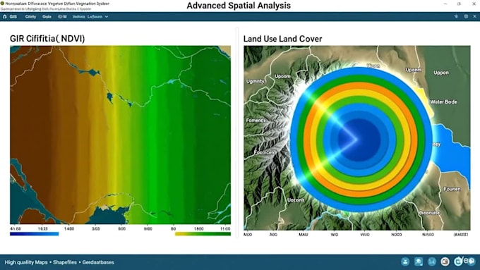
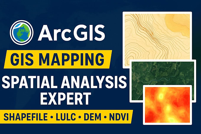
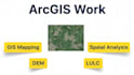
My GIS Services Include:
Why Choose Me?
⭐ GIS & Geology domain knowledge
⭐ Fast delivery & highly accurate maps
⭐ 100% satisfaction guaranteed
⭐ HD printable maps for thesis, research, reports, and projects
⭐ Custom data formats (PDF, JPG, PNG, Shapefile, KML, GeoJSON, GDB)
Accurate Geological Mapping and GIS Analysis
Languages
Q. What data do you need from me?
A: Any base map, coordinates, shapefiles, sample images, or project requirements.
Q. Will you provide source files?
A: Yes, shapefiles, KML, GDB, layers, and project files are included (Standard & Premium).
Q. Can you handle urgent delivery?
A: Yes! Fast delivery available—contact me before ordering.