Top Quality Work, 100 Percent Client Satisfaction, Professional Team
Ghana
About me
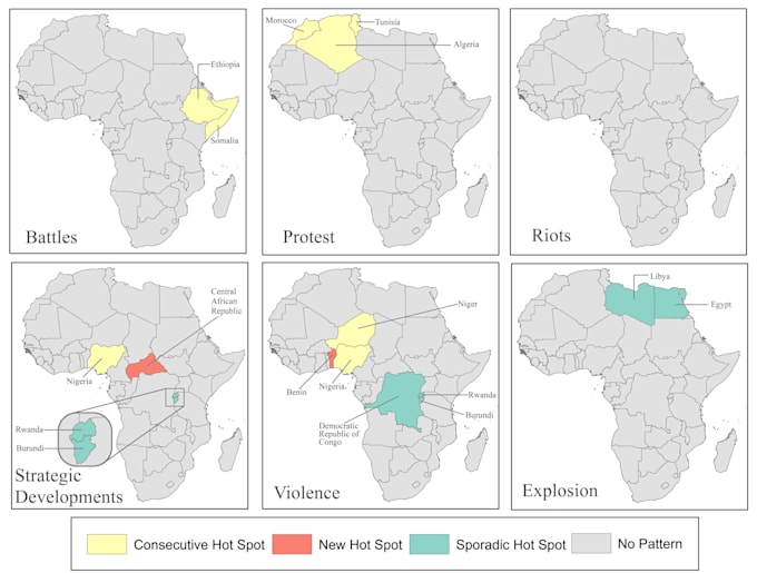
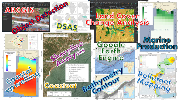
I am a GIS Technician & Spatial Analyst with over 6 years of experience in GIS, remote sensing, and spatial analysis. I work on coastal upwelling, shoreline change, and environmental monitoring using DSAS, Coastsat, ArcGIS Pro, QGIS, and Google Earth Engine. My skills include GIS mapping, geoprocessing, cartography, geodatabase management, and satellite image analysis. I also use drone data for coastal feature extraction, erosion studies, and terrain modeling. I deliver accurate maps and clear geospatial insights to support research, planning, and decision-making.... Read more