Browse categories
English
$
USD
Connect to your AI

Liubov
@l_kobik_uav
Level 1
GIS and CAD specialist, ecologist
United Arab Emirates
English, Russian, Italian, Spanish
About me
I’m GIS specialist/photogrammetrist with ecological background. I have 7 years' experience in GIS field and 5 years' experience in photogrammetry and CAD.
Services that I'm offering:
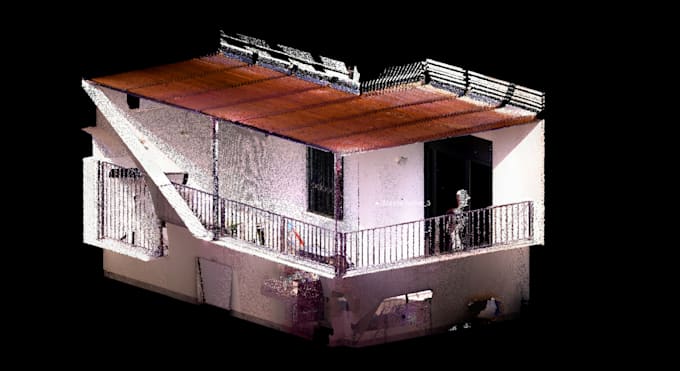
- Lidar, drone data processing: • DEM • Ortho • 3D model.
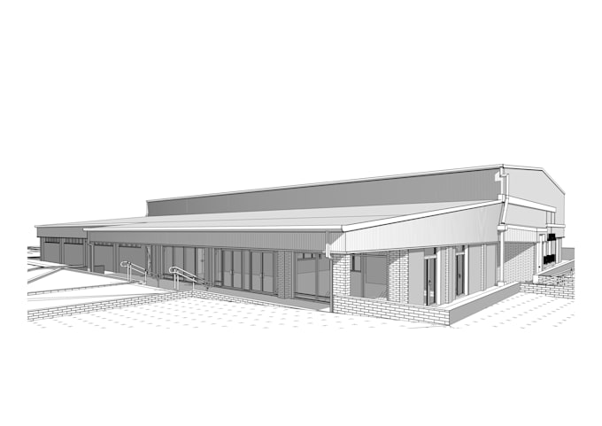
- Point cloud processing: • scanning • classification • converting to CAD
- 3D modelling: • CAD • photogrammetry.
- Digital mapping: • any type of map • geospatial analysis.
- Satellite imagery processing: • Vegetation analysis • NDVI • Multispectral analysis.
Software: ArcGIS, QGIS, AutoCAD, Civil 3D, Revit, Agisoft Metashape, Global Mapper, Trimble.
Skills

Liubov
$50/hour
Offline •
Average response time: 2 hours
See my services

2D Drawings & Site Plans
I will laser scanning processing, registration, 2d floor plan, site plan, 3d model

3D Modeling & Rendering
I will convert point cloud to cad 3d model, 3d model from matterport scans data
Want to work on an hourly basis?
Tell Liubov what you need.
$50
/
hourPortfolio
95 Reviews
| (86) | ||
| (7) | ||
| (2) | ||
| (0) | ||
| (0) |

Rating Breakdown
- Seller communication level
- Quality of delivery
- Value of delivery
1-5 out of 95 Reviews
Sort By
Most relevant

mateuszbaryla

United Kingdom
Ongoing collaboration
Professional approach as always, well done again!
Helpful?
pazorora

Canada
Ongoing collaboration
Helpful?
mulls1

Australia
Fantastic work ! Very pleased, hope to work with her again soon
Helpful?

mateuszbaryla

United Kingdom
Ongoing collaboration
Helpful?

roel_m

Belgium
Ongoing collaboration
Great collaboration! Fast, within the agreed timeframe, and adjustments as requested. Converting a 3D scan of a forest into a 3D SketchUp model for design purposes.
Helpful?