Browse categories
Explore
Fiverr Pro
English
$
USD
Ecommerce Development Website Development Software Engineer
Are you a company or supplier preparing for EUDR (European Union Deforestation Regulation) compliance?
I will help you perform high-quality spatial analysis to verify and validate your land polygons against deforestation, administrative boundaries, and environmental datasets ensuring your data is ready for EUDR certification.
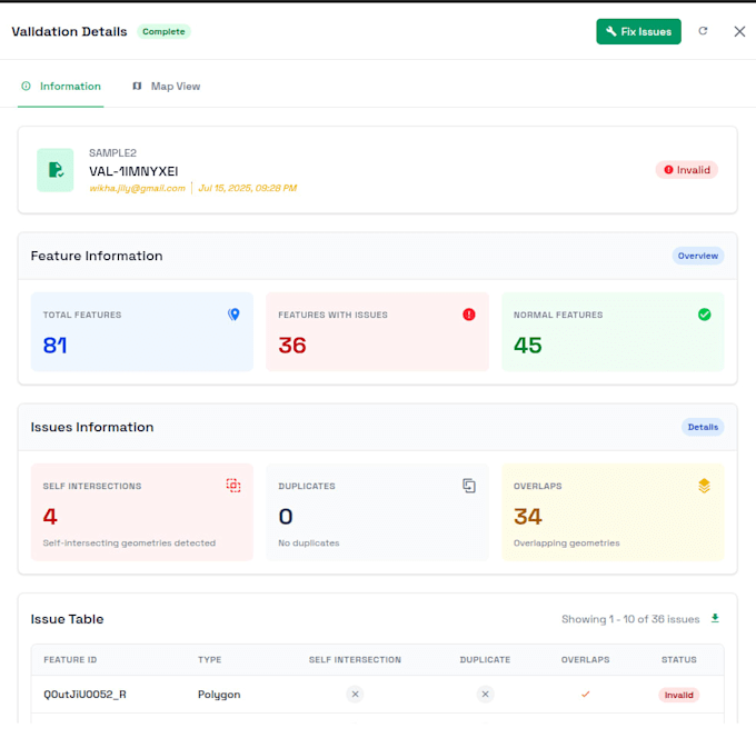
Using Python, GeoPandas, and PostGIS, I can efficiently process and analyze large-scale polygon data to detect geometry errors, overlaps, and land surface inconsistencies.
What I Offer
️ Tech Stack
Whether youre a sustainability officer, supplier, or data analyst I can help you ensure your spatial data meets EUDR standards with clear, verifiable analytics.



Expertise:
Compliance
•
Other
What is EUDR spatial compliance?
EUDR (European Union Deforestation Regulation) requires proof that your land or supply area is not linked to deforestation. Spatial compliance ensures your polygon data aligns with environmental and administrative boundaries.
What data formats do you accept?
I accept GeoJSON, Shapefile, CSV, Parquet, or database exports (PostGIS/Redshift). If you have raw coordinates or Excel data, I can help format it properly.
Can you fix invalid or overlapping polygons?
Yes. I use GeoPandas and Shapely to detect and correct invalid geometries, overlaps, and duplicate vertices automatically.
How do you check if polygons are on land or water?
I use raster-based and vector overlay techniques with global land cover datasets to verify that your polygons fall on valid land surfaces.
Can you integrate results into my existing GIS system or database?
Absolutely. The Premium package supports direct integration with PostGIS or AWS Redshift, including cleaned datasets for reuse.
Do you provide visual maps or dashboards?
Yes. Upon request, I can include OpenLayers or Folium-based map visualizations (as an extra).
Is my data kept confidential?
Yes. All datasets and reports are handled with strict data confidentiality — I do not share or store your data after project completion.