Browse categories
Explore
Fiverr Pro
English
$
USD

Level 2

Gig Summary
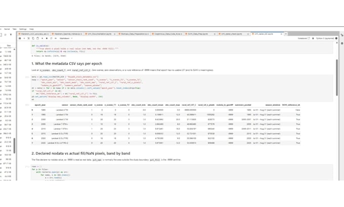
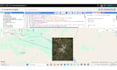
Are you spending more time wrangling satellite data than analyzing it? i build automated remote sensing and GIS workflows in Google Earth Engine(GEE) and python that tun raw satellite imagery nto clean maps, time-series analysis and export-ready data
Deliverables:
Why work with me:
What I need from you:
Message me before ordering to confirm scope and package.
Your Trusted Mapping Expert
Level 2
Languages
What kind of geospatial analyses can you perform?
I can perform a wide range of geospatial analyses including land use/land cover mapping, NDVI time-series analysis, rainfall and temperature trends, spatial correlation, and machine learning classification using Google Earth Engine and Jupyter Notebook.
Which tools and libraries do you use?
I primarily use Python with libraries such as geopandas, rasterio, xarray, matplotlib, and earthengine-api inside Jupyter Notebook — combined with Google Earth Engine for large-scale geospatial computations.
Can you work with both raster and vector data?
Yes! I handle both raster (e.g., satellite imagery, climate grids) and vector (e.g., shapefiles, GeoJSON) data efficiently for spatial analysis and visualization.
What data sources do you use for analysis?
I use open-source datasets like NASA NEX-GDDP, MODIS, Landsat, Sentinel, and CHIRPS — or you can provide your own custom data.
Do you offer visualization dashboards or just static results?
By default, I provide maps and plots within Jupyter. However, I can also create interactive visualizations using Folium, Plotly, or export results for use in web dashboards (available in premium packages).
What file formats do you deliver?
You’ll receive outputs in formats such as .ipynb (notebook), .csv, .tif, .shp, .geojson, or .png/.pdf maps depending on your request.
| (8) | ||
| (1) | ||
| (0) | ||
| (0) | ||
| (0) |

mark_b2795

Australia
Project 4 with Keith - from start to finish this consultant is 5 stars - if I could rate higher I would. Keith is not just a consultant and expert, I consider him part of the team, absolute dedication, Thanks Keith
$100-$200
Price
1 day
Duration
mark_b2795
Australia
First mapping with this consultant - delivery from start to finish was well above expectations - will be using this consultant for future projects - I would recommend to anyone looking for GIS projects!
$100-$200
Price
4 hours
Duration
Hourly rate
Order type

Seller's Response
kushu1940

United Kingdom
Very helpful
$50-$100
Price
11 days
Duration

richard77burton

United States
He was willing to do what nobody else would do.
$50-$100
Price
2 days
Duration
amalsaleh
United Kingdom
Excellent work. For sure he will be my assistant in my future project using GEE
$50
Price
6 days
Duration
| (8) | ||
| (1) | ||
| (0) | ||
| (0) | ||
| (0) |
mark_b2795
Australia
Project 4 with Keith - from start to finish this consultant is 5 stars - if I could rate higher I would. Keith is not just a consultant and expert, I consider him part of the team, absolute dedication, Thanks Keith
$100-$200
Price
1 day
Duration
mark_b2795
Australia
First mapping with this consultant - delivery from start to finish was well above expectations - will be using this consultant for future projects - I would recommend to anyone looking for GIS projects!
$100-$200
Price
4 hours
Duration
Hourly rate
Order type
Seller's Response
kushu1940
United Kingdom
Very helpful
$50-$100
Price
11 days
Duration
richard77burton
United States
He was willing to do what nobody else would do.
$50-$100
Price
2 days
Duration
amalsaleh
United Kingdom
Excellent work. For sure he will be my assistant in my future project using GEE
$50
Price
6 days
Duration