Browse categories
Explore
Fiverr Pro
English
$
USD

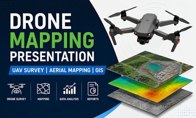
Need a professional Drone Mapping Presentation, UAV Survey PowerPoint, Aerial Mapping Deck, or Geospatial Report?
With extensive experience creating drone mapping presentations, UAV survey reports, GIS decks, LiDAR presentations, and aerial mapping slides, I transform complex survey data into clear, engaging, and professional presentations that impress clients, stakeholders, and investors.
My Services:
Drone Mapping Presentations
UAV Survey Reports
Aerial Mapping Decks
Drone Inspection Slides
GIS & Geospatial Reports
LiDAR Data Presentations
Orthomosaic Mapping Reports
Topographic Survey Decks
Construction Progress Reports
Investor & Stakeholder Presentations
Software:
PowerPoint Google Slides ArcGIS QGIS Pix4D DroneDeploy Canva Figma
Why Choose Me?
Industry expertise
Modern layouts
Accurate data visualization
Fast delivery
Editable source files
High-quality mapping visuals
Contact me today for a professional Drone Mapping & UAV Survey Presentation that communicates your data with clarity, accuracy, and impact.
Please inform the freelancer of any preferences or concerns regarding the use of AI tools in the completion and/or delivery of your order.
Technical Presentation Designer GIS Oil And Gas Remote Sensing Energy
Languages
