Browse categories
Explore
Fiverr Pro
English
$
USD

Hello Sir/Ma
Are you finding it difficult to Plotting Accurate Contour Lines and Elevations? Worry no more!
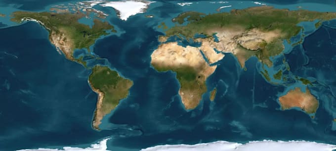
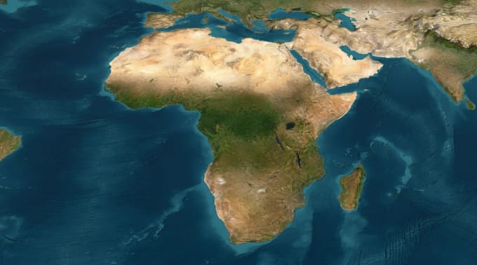
I can help you in turning your elevation data, contour lines, survey data, CAD drawings or map references into a detailed 3D terrain model ready for visualization, CNC or 3D printing.
I can also create realistic landforms, mountains, valleys, slopes, coastlines, islands and other terrain features while keeping the model clean and practical for your intended use.
Contact Me Now To Get Started Before Placing Order
Best Regard.
Please inform the freelancer of any preferences or concerns regarding the use of AI tools in the completion and/or delivery of your order.
Map Designer
Languages