What I offer:
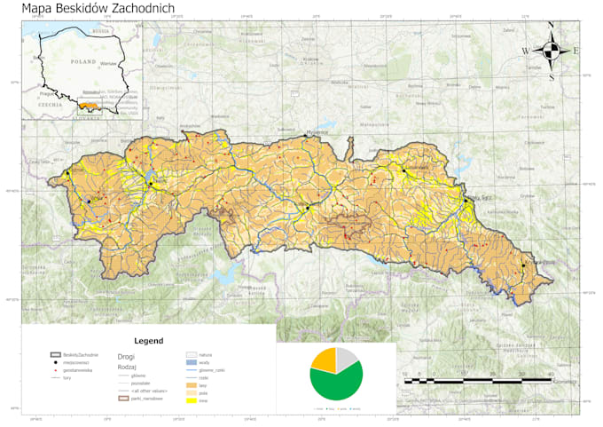
- Custom map design in QGIS (thematic, topographic, demographic, environmental, etc.)
- Spatial data analysis (buffering, overlay, density, proximity, network, raster analysis)
- Data cleaning, formatting, and georeferencing
- Integration and visualization of your spatial data (CSV, shapefiles, GeoJSON, raster, etc.)
- High-resolution map exports ready for publication, presentation, or reports
Why choose this service:
- Professional cartographic design with attention to accuracy and aesthetics
- Clear communication and results tailored to your goals
- Support with data preparation and interpretation
- Fast delivery and reliable workflow
HOW TO START:
- Contact Me First: Before placing an order, please send me a message with a brief description of your project.
- Provide Data: Share any existing data or specify the geographic area of interest.
- Receive a Custom Quote: I will provide a tailored quote and estimated delivery time.
I can work with data you provide or help you find reliable open data sources for your project.
Lets turn your spatial data into clear, beautiful, and informative maps that make an impact.