m
m_idrees_gis

Muhammad Idrees

@m_idrees_gis

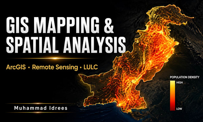
GIS Mapping and Spatial Analysis

Pakistan
English, Urdu
About me
Hi, I am Muhammad Idrees, a GIS and Remote Sensing specialist skilled in ArcMap, Google Earth Engine, spatial analysis, and thematic mapping. I provide professional GIS services including mapping, land use analysis, rainfall analysis, remote sensing, and geospatial data visualization. I focus on delivering accurate, clean, and high-quality work according to client requirements. I am passionate about geospatial technologies and continuously improving my skills in GIS, remote sensing, and Python. Client satisfaction, clear communication, and timely delivery are always my priorities.... Read more

Skills

m
m_idrees_gis
Muhammad Idrees
Offline • 
Average response time: 1 hour

See my services

Geographic Information Systems (GIS)
I will do gis mapping spatial analysis and arcgis map design

Portfolio

Work experience

Self_Employed

GIS Analyst / GIS & Remote Sensing Specialist / Freelance GIS Analyst

Self Employed • Self-employed

Sep 2024 - Present1 yr 9 mos

Worked on GIS mapping, spatial analysis, remote sensing, and cartography projects using ArcGIS and QGIS. Created thematic maps, land use analysis, urban expansion analysis, and geospatial visualizations.