Browse categories
Explore
Fiverr Pro
English
$
USD
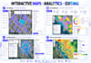
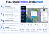
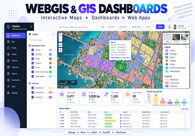
Need a professional interactive WebGIS application or GIS dashboard?
I develop responsive geospatial web applications ranging from interactive maps to complete full-stack WebGIS platforms.
Services include:
Technologies: Django, Python, JavaScript, React, Leaflet, MapLibre, Mapbox, OpenLayers, PostGIS and GeoServer.
Please contact me before ordering a complex full-stack or multi-user WebGIS project.
GIS and Remote Sensing Analyst
Languages
Can you build a complete Django WebGIS application?
Yes. I can develop full-stack WebGIS systems using Django/GeoDjango, PostgreSQL/PostGIS, REST APIs and interactive JavaScript mapping libraries.
Which mapping libraries do you use?
Depending on the project, I can work with Leaflet, MapLibre, Mapbox, OpenLayers and ArcGIS JavaScript technologies.
Can you connect a WebGIS application to PostGIS?
Yes. I can design spatial databases, integrate PostgreSQL/PostGIS and connect the database to Django or other suitable backend APIs.
Can you integrate GeoServer?
Yes. I can integrate GeoServer for WMS, WFS, tiled layers, styling and PostGIS-backed spatial services.
Can you deploy the WebGIS application?
Yes. Deployment support is available for suitable VPS/cloud environments. Please contact me before ordering if production deployment is required.
Do you create ArcGIS Online dashboards?
Yes. I can also work with ArcGIS Online, Dashboards and Experience Builder when an Esri-based solution is preferred.
Can you build dashboards with charts and statistics?
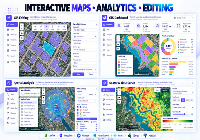
Yes. Dashboards can include map-linked charts, KPI cards, tables, filters, statistics and interactive selections.
Can users add or edit GIS features?
Yes. Custom systems can support drawing, editing, deleting and updating spatial features and their attributes.