Browse categories
Explore
Fiverr Pro
English
$
USD
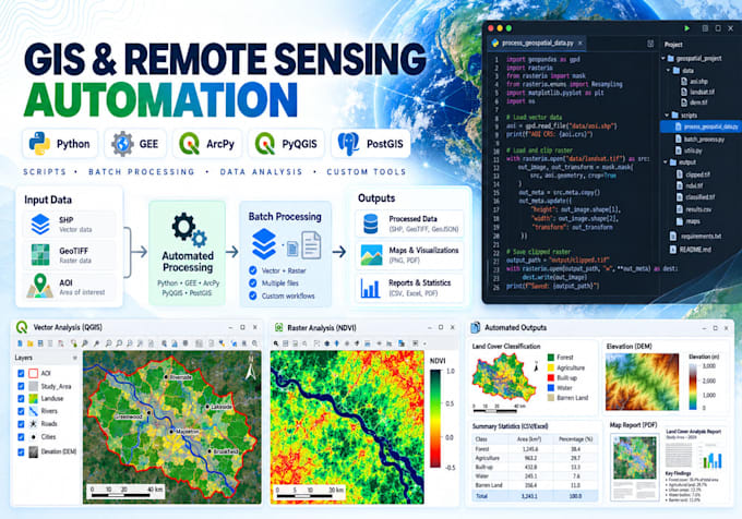
Tired of repeating the same GIS or remote sensing tasks manually?
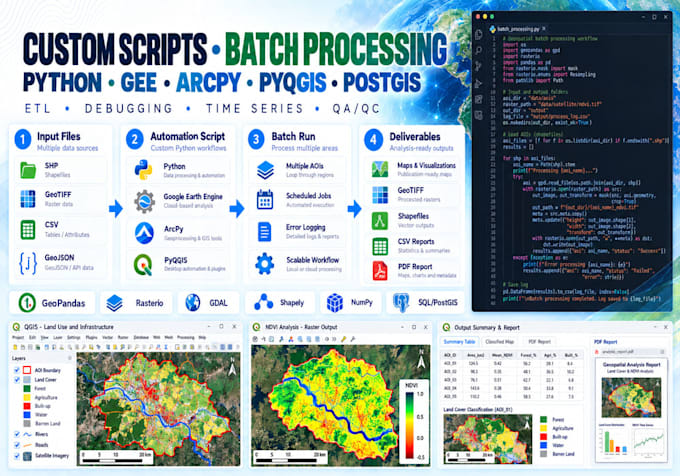
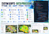
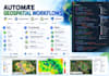
I develop reusable geospatial automation scripts, tools and processing pipelines using Python, Google Earth Engine, ArcPy, PyQGIS and spatial databases.
I can automate:
Languages: Python, JavaScript (GEE), SQL/PostGIS and R when required.
You receive clean, reusable and documented source code designed around your workflow.
Please contact me before ordering complex plugins, pipelines or database automation.
GIS and Remote Sensing Analyst
Languages
Can you automate my existing manual GIS workflow?
Yes. Share the current steps, sample input and expected output, and I can convert suitable workflows into reusable scripts or tools.
Can you fix an existing Python, GEE, ArcPy or PyQGIS script?
Yes. I can debug, optimize and extend existing geospatial scripts.
Can the script process many files automatically?
Yes. Batch-processing and folder-based workflows are one of the main services offered in this Gig.
Can you build QGIS plugins or ArcGIS tools?
Yes. PyQGIS plugins/processing tools and ArcPy/Python toolboxes are available for suitable projects. Complex tools require a custom offer.
Do you automate Google Earth Engine?
Yes. I can develop reusable JavaScript or Python Earth Engine workflows for satellite processing, indices, classification, time series and exports.