Browse categories
Explore
Fiverr Pro
English
$
USD

Level 1
HELLO,
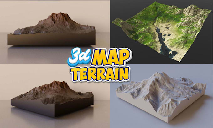
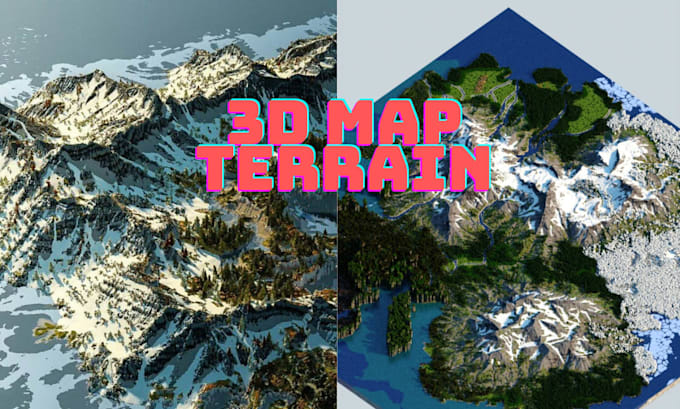
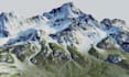
I create professional three-dimensional map terrain, topographic landscapes, and detailed terrain visualizations for real estate, architecture, land development, geographic presentation, game environments, and landscape projects.
WHAT I OFFER:
WHAT YOU WILL GET:
I focus on accurate detailing, clean presentation, and strong visual communication. Send your location, references, coordinates, or project requirements, and I will transform your terrain information into a polished three-dimensional map visualization.
Please inform the freelancer of any preferences or concerns regarding the use of AI tools in the completion and/or delivery of your order.
Map Expert
Level 1
Languages
What information do you need to create my three-dimensional terrain?
I can work with a location name, coordinates, latitude and longitude, map, satellite image, elevation data, sketch, reference image, or other relevant project information.
Can you create terrain for a specific location?
Yes. You can provide the exact location and available geographic information, and I can build the terrain visualization around your specified area.
Can you add roads, rivers, waterfalls, farms, and landmarks?
Yes. I can incorporate requested geographic and environmental features such as roads, rivers, lakes, waterfalls, farms, buildings, vegetation, landmarks, and boundaries.
Can you include latitude and longitude?
Yes. Coordinates, location labels, boundaries, and other requested geographic information can be incorporated into the visualization.
Will I receive a high-resolution render?
Yes. Your selected package determines the included resolution, number of views, and final deliverables.
Can you create a realistic or stylized terrain?
Yes. The visual style can be adapted to your intended purpose, whether you need a realistic landscape presentation, clean topographic visualization, or stylized terrain.
Can you provide the source file?
Yes. The editable source or project file can be included where specified by the selected package.
Can you work from an existing map or reference?
Yes. Existing maps, satellite references, sketches, images, coordinates, and terrain data can be used as project references.