Browse categories
Explore
Fiverr Pro
English
$
USD


Hello friends!
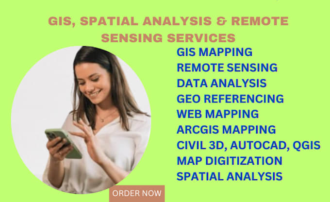
I would like to thank for you looking at our profile. If you are searching for GIS & Remote Sensing Analysis, Mapping, and spatial data analysis, this is the right place for you.
I am a qualified Research Assitant at the University of Moratuwa, and I am an expert on GIS, Remote Sensing, and spatial planning and analysis.
I have seven years of research experience related to GIS, Remote sensing, and data analysis with well-reputed world research institutions. We have published research publications in the GIS & Remote Sensing fields. we have four members of group to do large-scale projects. So let's discuss your project with us!!!!
Our Services :
Softwares :
ArcMap, QGIS, ArcGIS Pro, ArcGIS Online, ERDAS Imagine, MatLab, WEKA, Google Earth Pr etc.
Please contact me before placing orders. Cheers!
Languages
