GIS Analyst specializing in QGIS, ArcGIS and Spatial Data
Italy
English, Persian
About me
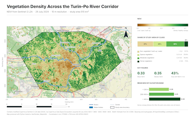
I help clients turn location data into accurate maps and organized GIS datasets. Using QGIS and ArcGIS Pro, I can clean and harmonize spatial data, correct coordinate systems, digitize features, and perform spatial analysis.
My background in environmental and agricultural engineering helps me understand land-use, environmental, and agricultural mapping projects.
I deliver clear maps, well-structured GIS files, and concise documentation. Send me a message to discuss your project and expected deliverables.... Read more