Browse categories
English
$
USD
Connect to your AI
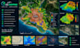
Need professional, accurate, and visually appealing maps for your project? I`m here to help!
I provide custom Cartography and GIS Mapping services designed to transform geographic data into clear, informative, and professional maps tailored to your needs.
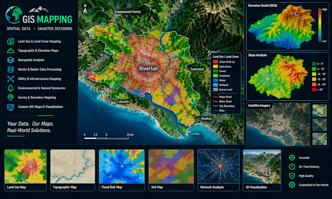
My services include:
I focus on map accuracy, clear labeling, organized layouts, and visually effective presentation. Deliverables can include high-resolution PDF and PNG maps, with additional GIS data.
Whether you are a researcher, student, business owner, planner, or individual, I aim to provide a mapping solution that matches your project requirements.
Ready to bring your mapping ideas to life? Send me your project details, location, available data, and preferred output format. Lets create a professional map together!
Please inform the freelancer of any preferences or concerns regarding the use of AI tools in the completion and/or delivery of your order.
Cartography and GIS Mapping Designer
Languages
What information do you need to start my project?
I need your project description, geographic location, available data or reference files, preferred map style, required dimensions, and desired output format. If you are unsure, contact me so we can discuss your requirements.
What types of maps do you create?
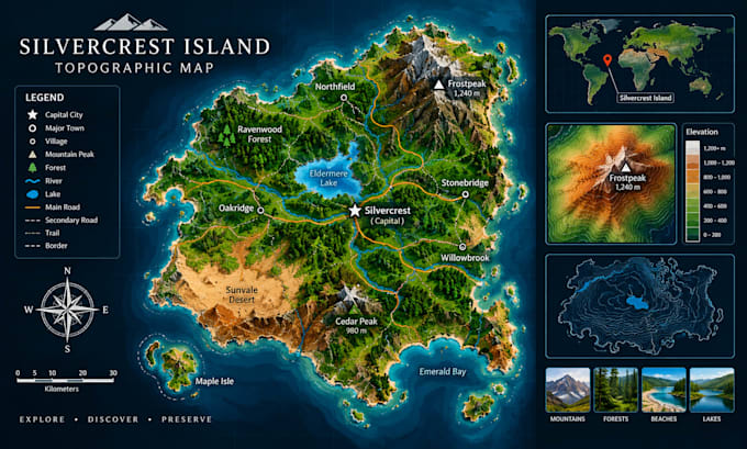
I can create custom GIS maps, thematic maps, topographic maps, reference maps, location maps, land-use maps, environmental maps, fantasy map and geographic data visualizations, depending on the project scope.
Which software do you use?
I use GIS and mapping software such as QGIS and/or ArcGIS, depending on the project requirements and the tools available for the task.
Can you create a map from a reference image?
Yes, I can use a reference image to understand your desired style or layout. The ability to reproduce geographic details accurately depends on the image quality and the availability of suitable geographic data.