Browse categories
Explore
Fiverr Pro
English
$
USD


I help researchers, students, NGOs, and businesses turn satellite imagery
into clear, usable maps and analysis fast and affordably.
What I offer:
Flood & water extent mapping (before/after comparisons)
NDVI / vegetation health & crop stress analysis
Land use & land cover classification
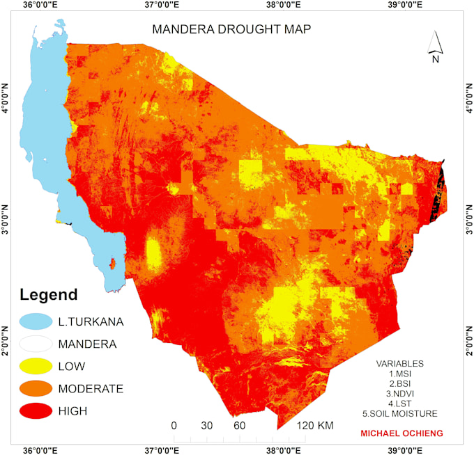
Drought & environmental risk mapping
Boundary & map digitization (scanned maps clean GIS data)
I use Google Earth Engine, QGIS, and ArcGIS with free satellite data
(Sentinel-2, Landsat), so you get professional results without
expensive software costs driving up your price.
Every order includes a clear map output plus a short written summary
explaining what the data shows no jargon, just clear findings you can
actually use in your report, thesis, or project.
I communicate fast and deliver on time. If you're not sure exactly what
you need, message me with your area of interest and goal I'll tell
you honestly what's possible and recommend the right package.
Let's turn your data into a map that makes sense.
GIS AND REMOTE SENSING
Languages
Q: What file formats will I receive?
You'll get high-resolution map images (PNG/JPG), and on request I can also provide GeoTIFF or shapefile formats for use in your own GIS software.
Q: Can you work with a specific boundary or shapefile I already have?
Yes, if you have a boundary file (shapefile, KML, or GeoJSON) for your study area, send it over and I'll use it directly — this also speeds up delivery.
Q: Do you need me to provide the satellite imagery?
No — I source imagery myself from free public satellite data (Sentinel-2, Landsat). Just tell me your area of interest and the date range you're interested in.