Browse categories
Explore
Fiverr Pro
English
$
USD


Greetings There,
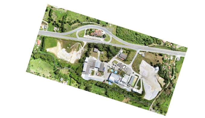
I will convert your point cloud data into an accurate and clean CAD topographic plan.
I work with point cloud files (RCP, LAS, E57, PTS) and transform them into professional 2D drawings and terrain models suitable for engineering and construction use.
What You Get From My Service:
You can provide Drone surveys, Lidar/Laser scanning data, point cloud scan file, location or map link or any other available details and let's embark on your project today!
Fiverr does not screen freelancers in this category. Please verify qualifications and discuss requirements with the freelancer before ordering, including any preferences regarding the use of AI tools.
Scan To Bim Specialist
Languages