Browse categories
Explore
Fiverr Pro
English
$
USD

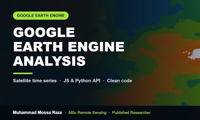
Google Earth Engine is powerful and painful. I write the script so you do not have to.
My MSc thesis processed 30 years of Landsat imagery in GEE to map land cover change and carbon loss. This is my daily work, not a side skill.
WHAT I BUILD IN GEE
YOU RECEIVE
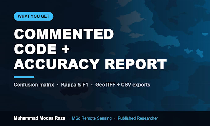
Commented JavaScript or Python API code that runs, exported maps and GeoTIFFs, a CSV of results, charts and a short methods note. The code is yours to reuse.
WHY ME
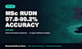
MSc RUDN University Moscow. Random Forest classification at 97.8-99.2% overall accuracy across five epochs. Six open GEE and SAR studies on GitHub.
I report accuracy honestly, including where a method underperforms.
Tell me your area, dates and question. I will confirm feasibility before you order.
GIS Remote Sensing Analyst
Languages
Do I need my own Google Earth Engine account?
It helps but is not required. If you have one, I share the script and assets straight into your account so everything is yours. If you do not, I run it on mine and deliver the code plus all exports - you can register free later and paste it in.
Which satellites and datasets can you use?
Landsat 4-9, Sentinel-1 SAR, Sentinel-2, MODIS, VIIRS, ERA5-Land, CHIRPS rainfall, SRTM elevation, WorldPop, Dynamic World, and most of the GEE public catalog. If a dataset exists in GEE, I can work with it.
How far back can the analysis go?
Landsat reaches back to the 1980s, so multi-decadal change analysis is realistic. Sentinel-2 starts 2015 and Sentinel-1 around 2014. I will tell you the honest earliest usable date for your specific area.
Will you explain the code, or just hand it over?
The script is fully commented and I include a methods note. If you want a walkthrough, I offer live 1-on-1 sessions - see my Earth Engine training gig, or ask me for a custom offer that bundles both.
Can you guarantee a specific accuracy figure?
No, and be cautious of anyone who does. Accuracy depends on your area, class separability and reference data quality. I report the real confusion matrix, Kappa and F1 - including when a result is weak.
Can you publish results as an interactive web app?
Yes. I can build a GEE App or a Streamlit/Folium dashboard so non-technical colleagues can explore the results in a browser. Available on Premium or as a custom offer.