I will high resolution topographic contour maps using qgis

M
moulick13
M
moulick13
Md Alzaber

About this gig

Gig Description

Are you looking for a precise, publication-ready Topographic Contour Map or 3D Elevation Model for your site, watershed, or GIS project? I am able to help you.

I specialise in GIS and Spatial Data Analysis with extensive experience in processing DEM, SRTM, and LiDAR data to create high-resolution elevation and contour maps using QGIS and Google Earth Engine.

Services I Provide in This Gig:

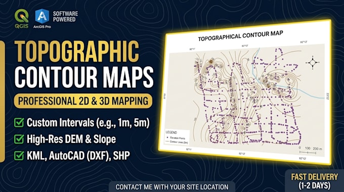
  • Topographical Contour Maps with QGIS
  • Custom Contour Intervals (e.g., 1m, 5m, 10m)
  • Digital Elevation Models (DEM / DTM / DSM)
  • Slope, Aspect, and Hill shade Mapping
  • Coordinate Reference System (CRS) & Grid Setup
  • Complete Map Layout with Scale Bar, Legend, North Arrow, and Grid

You Will Receive:

  • High-Resolution Export (PDF, PNG, JPEG)
  • GIS Vector Data (Shape files, GeoJSON, KML) - Optional
  • AutoCAD Compatible Files (DXF/DWG) - Optional

Why Choose Me?

  • Geospatial Background: High expertise in Geo-Informatics and GIS Analysis.
  • Precision & Quality: Clean geometries, standard cartography, and high attention to detail.
  • Fast Communication: Prompt response and professional delivery.

Please contact me with your site location/coordinates before placing an order to discuss your project require

Get to know Md Alzaber

Md Alzaber

Never Give Up

  • FromBangladesh
  • Member sinceMar 2023
  • Avg. response time1 hour
  • Languages

    English, Hindi, German, Spanish
I have three years of experience in the field of GIS and Remote sensing. I am good command on spatial data handling on Arc GIS pro, QGIS, Google earth pro and google earth engine platform.I am used to Map design digitizing maps, spatial database, preprocessing data, supervised and unsupervised classification, land use land cover map detection and analysis, population density map, Digital image classification and so on relevant on Remote Sensing Applications such as Satellite Image Processing,DEM, Land Use Classification, Temporal Data Analysis. Thank you.