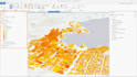
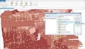
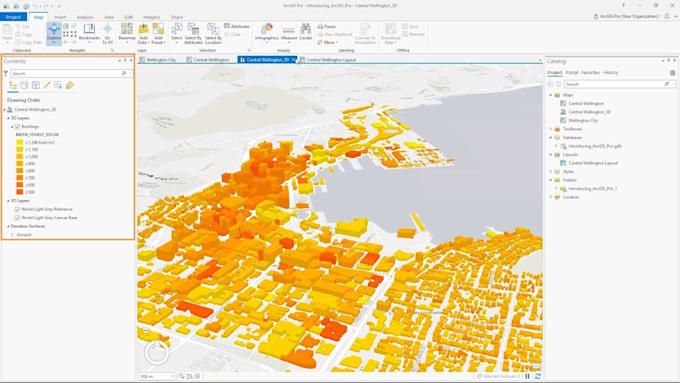
I will do gis mapping ,deep learning,remote sensing projects


About this gig
I am a Geospatial developer and AI scientist primarily based in Pakistan having three years of good sized revel in in working with four hundred+ mission from everywhere in the world. I am sheerly skilled in GIS, Machine mastering, webmapping, developing algorithm, 3D and 2D modelling and concrete layout and so on. Feel unfastened to touch me for any session/ custom paintings programs.
I can especially assist you in
- Landuse/ Landcover Extraction
- 2D/3D Modelling
- Digitization & Georeferencing
- Database design and Management
- Image Classification and Change detection
- Thematic Mapping
- Network Analysis and route mapping
- Topographic mapping
- Watershed & Viewshed Analysis
- Deep learning and AI
- Using different types of indices
- Flood simulation
- Hydrological model building
- Webapp and Dashboard development
Why you should hire me?
- Dynamic skills and offers in a single place
- 24/7 online consultation and life time after sale support
- Highly rated reviews in each of the past projects(400+ project completed in last 3 years)
- Anytime of custom work packages are accepted in a reasonable price band
- Can have a quick call/ meeting before initiating any project with demo of similar past project
Pleas
Get to know Shoaib Khan
Machine Learning Proficient, Python,AI engine,chat gpt, Laravel Expert
- FromPakistan
- Member sinceJun 2021
- Last delivery1 year
Languages
English, Urdu, Spanish, Dutch
My Portfolio
FAQ
What file format should i get?
Raster: GeoTIFF, GeoPDF Georeferencing info: txt, csv Vector: GeoPackage, Shapefile, GML, others*
What file resolution It's minimum for geoprocessing?
It is depends of file size and scale map. In my experience, If you zoom in to 200-300 % and text is readability it good quality.