Browse categories
Explore
Fiverr Pro
English
$
USD
AI Developer, Geophysicist, Python, GIS, Remote Sensing
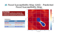
Need to know which areas are at risk of flooding?
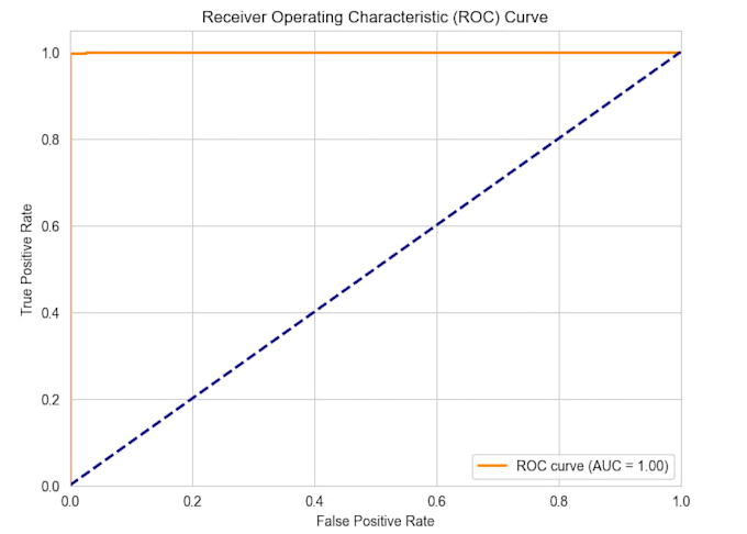
I build flood susceptibility maps using satellite DEM data, river networks, and machine learning. My UAE flood model achieved 99.5% accuracy (AUC 1.00) trained on SRTM/Copernicus DEM and OpenStreetMap data.
WHAT YOU GET:
Flood susceptibility map (PNG + GeoTIFF)
Risk classification low / medium / high / very high
Feature importance analysis (which terrain factors drive risk)
Random Forest model with 5-fold cross-validation
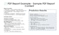
Methodology report for planning or regulatory use
TERRAIN FEATURES I USE:
Elevation, slope, aspect, curvature
Distance-to-river, Topographic Wetness Index (TWI)
TYPICAL USES:
Urban planning and land development
Insurance property screening
Climate adaptation strategy
Disaster preparedness and response
BACKGROUND:
M.Sc. Geophysics, 13+ years international experience. Certified AI Developer (PIAIC). I've built production geospatial tools for real clients, including a UAE-wide flood susceptibility system.
HOW IT WORKS:
Send me your area of interest and I'll reply within 12 hours with a clear scope, timeline, and recommended package.
Let's map your flood risk.

What data do you need from me?
Just a region name or bounding coordinates. I source DEM and river data from SRTM, Copernicus, and OpenStreetMap unless you provide your own.
Is the model scientifically validated?
Yes. Every model uses 5-fold cross-validation and reports AUC, precision, recall, and feature importance. My UAE model achieved 99.5% accuracy.
Can you handle any region worldwide?
Yes, globally. Arid and semi-arid regions are my specialty, but the same terrain-based method works in humid, coastal, and mountainous areas too.
What formats do you deliver?
PNG maps for reports, GeoTIFF for GIS software (QGIS, ArcGIS), interactive HTML for browsers, and PDF methodology reports. Source code included on all tiers.
Do I own the output?
Yes. Full commercial rights to maps, code, and reports. All source code delivered with documentation so your team can rerun or extend the model.