I will design maps, arcgis maps and gis projects

M
mutemit
M
mutemit
Titus Mutemi

About this gig

Hello there...

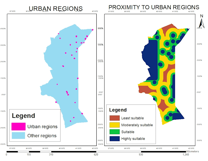
I design Topographical maps, Analytical maps, Spatial Analysis and all ArcGIS projects.

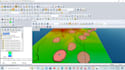
I create DEMS from Google Earth, Contours and Site Maps

I use Satellite Imagery to do classification using Erdas Imagine and ArcGIS.

Get to know Titus Mutemi

Titus Mutemi

Geomatics Engineer,GIS Analyst

  • FromKenya
  • Member sinceDec 2022
  • Languages

    English
Hello there..I am a trained Surveyor and GIS(Geographic Information Systems) Analyst. I hold a bachelors degree in Geomatics Engineering and GIS & Remote Sensing. I have a 6 years experience in this field and expert in using various GIS software including QGIS, ArcGIS, Global Mapper, Google Earth and related. Survey software; AutoCAD, Civil 3D. Remote Sensing software; Envi and Erdas Imagine.