Browse categories
Explore
Fiverr Pro
English
$
USD
GIS Analyst AutoCAD Drafting Mapping and Spatial Analysis
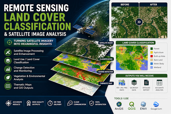
Need professional satellite image analysis or land cover classification for your project?
I provide accurate and reliable remote sensing services using industry-standard geospatial tools to transform satellite imagery into meaningful insights and high-quality maps.
My services include:
Whether you are a researcher, student, NGO, environmental consultant, planner, or government agency, I can help you generate professional geospatial products tailored to your project needs.
What you can expect:
Please contact me before placing an order so we can discuss your project requirements and ensure the best solution for your needs.