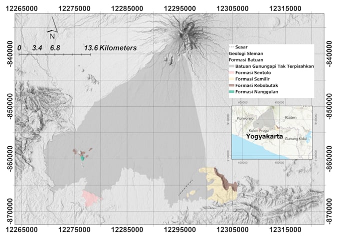
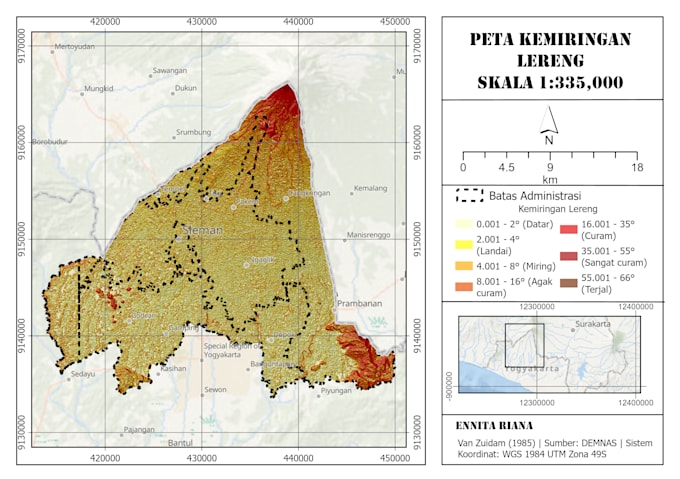
I will do dem terrain analysis and spatial mapping in arcgis pro

N
nit_sss
N
nit_sss
Ennita Riana

About this gig

DEM Terrain Analysis

Need terrain analysis from a DEM? I run spatial analysis in ArcGIS Pro and deliver clear maps with a short method note.

I hold a B.Sc. in Physics and study Geological Engineering (M.Eng.) at Universitas Gadjah Mada. I work with elevation data for geology, hazard, and watershed studies.

Analyses I offer:

  • Slope and aspect
  • Hillshade
  • Elevation interpolation
  • Reclassify and zonation

You get:

  • Layout maps for each analysis
  • Result rasters
  • A short explanation of the method

What I need from you:

  • Your DEM, or your study area so I can use open data
  • Your goal and classes you want
  • Coordinate system

Message me first if you are unsure which analysis fits your project.

Get to know Ennita Riana

Ennita Riana

Geoscientist

  • FromIndonesia
  • Member sinceOct 2026
  • Languages

    English, Indonesian
I have extensive experience in subsurface characterization using ERT, MASW, and HVSR, as well as GIS mapping and SfM photogrammetry. I am skilled in translating field data into technical decisions for slope stability and engineering geology.

My Portfolio