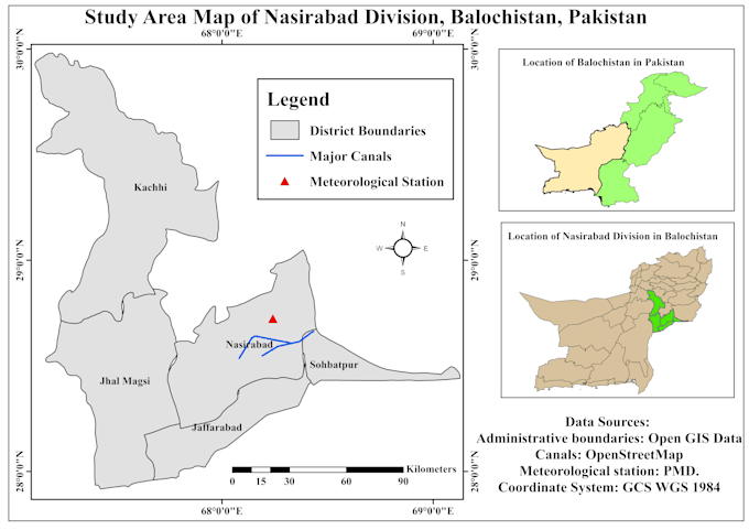
I am a GIS and Remote Sensing Analyst working in geospatial analysis since 2021. I hold a BS in Geography and am currently completing my MPhil in Geography, with my thesis submitted. I work with ArcGIS, QGIS, Google Earth Engine, Google Earth Pro, Excel and SPSS. My services include study area maps, NDVI, LST, flood and drought mapping, LULC, change detection, georeferencing, digitization, spatial analysis, suitability analysis and thematic mapping. I work with Landsat, Sentinel, MODIS and CHIRPS data and can support research, agriculture, climate, urban, glacier and environmental GIS projects... Read more