Browse categories
Explore
Fiverr Pro
English
$
USD

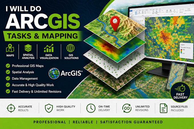
Are you looking for professional GIS mapping or spatial analysis using ArcGIS?You're in the right place!
I will create professional,accurate and visually appealing GIS maps using ArcGIS based on your data and project requirements.
My GIS services include:
GIS Mapping & Cartography
Thematic Maps
Spatial Analysis
Data Visualization
Georeferencing
Digitization
Shapefile Creation
Attribute Data Editing
Coordinate System & Projection
Data Conversion
Map Layout & Symbology
Site Suitability Analysis
Professional Map Design
I can work with common GIS data formats such as:
Shapefile (.shp)
KML/KMZ
CSV/Excel
Raster data
GeoTIFF
CAD data
Existing GIS layers
What you will receive:
Clean and professional GIS maps
Proper legend, scale bar and north arrow
Appropriate symbology
High-resolution PNG/PDF output
Organized GIS data where included in your package
Accurate and clear results
Professional communication
I can create GIS maps for academic projects,research, planning,environmental studies,engineering projects,presentations and other professional applications.
Please contact me before placing an order for complexprojects so I can review your data and recommend the appropriate package.
I don't just deliver results, I deliver an exceptional experience
Languages
What data do you need to start?
Please provide your GIS data such as Shapefile, KML/KMZ, Excel/CSV, raster data, or any existing GIS layers along with your project requirements.
What types of GIS maps can you create?
I can create thematic, location, land-use, zoning, infrastructure, environmental, topographic and other custom GIS maps depending on your data and requirements.
Can you perform spatial analysis in ArcGIS?
Yes. Depending on your package, I can perform spatial analysis such as buffering, overlay, proximity and other GIS analysis. Please contact me for complex analysis requirements.
What files will I receive?
You can receive high-resolution PNG, JPG or PDF map outputs. Editable GIS source files are included with the Premium package or can be purchased as an extra when available.
