Browse categories
Explore
Fiverr Pro
English
$
USD


Hi Good Day!
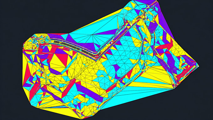
Need accurate Civil 3D surfaces and contour maps from your survey or LiDAR data? You're in the right place.
I provide professional survey data and LiDAR processing to create precise Civil 3D surfaces, contours, and terrain models for engineering, construction, land development, road, and site grading projects. Every model is clean, accurate, and ready for design.
Services Include:
Why Choose Me?
Whether you're a surveyor, engineer, architect, contractor, or developer, I'll deliver high-quality terrain models that save you time and help your project move forward with confidence.
Message me before ordering to discuss your files and project requirements.
Fiverr does not screen freelancers in this category. Please verify qualifications and discuss requirements with the freelancer before ordering, including any preferences regarding the use of AI tools.
3D Architectural Designer, 3d Modeling and Sports Facility Specialist
Languages
What types of files can you process?
I can process survey points, LiDAR point clouds (LAS/LAZ), CSV, TXT, DEM, DTM, DWG, DXF, and other elevation data formats.
What will I receive after completion?
You will receive accurate and organized Civil 3D files, including surfaces, contours, breaklines, and requested deliverables such as DWG, DXF, and PDF.
Can you create Civil 3D surfaces from LiDAR data?
Yes, I can process LiDAR elevation data and create optimized TIN surfaces and terrain models in Autodesk Civil 3D.
Can you handle large survey or LiDAR datasets?
Yes, I can process larger datasets and optimize surfaces while maintaining accuracy and performance.
Do you create existing ground (EG) surfaces and contours?
Yes, I create Existing Ground surfaces, contour maps, spot elevations, and breaklines based on your provided elevation data.
What information do you need before starting?
Please provide your survey/LiDAR files, project boundary, required output format, contour interval, and any specific Civil 3D standards.
Can you work with projects larger than your listed packages?
Yes, I can handle larger areas and complex projects. Contact me with your project details for a custom offer.
Are the Civil 3D files fully editable?
Yes, all delivered Civil 3D files are clean, organized, and fully editable for future design and engineering workflows.