Browse categories
Explore
Fiverr Pro
English
$
USD



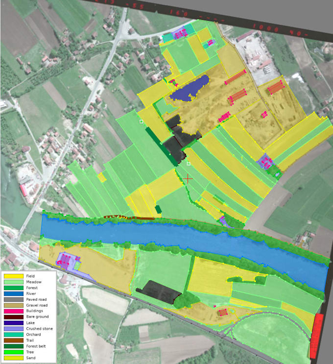
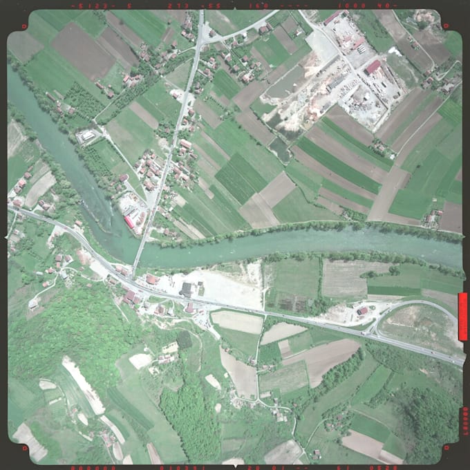
I will provide accurate map georeferencing, raster-to-vector conversion, and high-quality GIS data preparation for your project.
I work with:
As part of this service, I can:
The final data can be delivered in GeoPackage (GPKG), Shapefile (SHP), GeoJSON, KML/KMZ, DXF, and other GIS formats. If needed, the data will be prepared in your required coordinate reference system (CRS).
I am a GIS specialist with over 5 years of experience working with spatial data. I pay close attention to geometric accuracy, data structure, and the overall quality of the final deliverables. All work is completed manually without automatic vector tracing unless agreed otherwise in advance.
If your project has specific requirements or involves a large volume of data, please contact me before placing an order.
GIS Specialist, Cartographer
Languages
Which file formats do you work with?
I work with most common GIS and raster formats. Final data can be delivered as GPKG, SHP, GeoJSON, KML/KMZ, DXF, and other GIS formats.
Do you use automatic vectorization?
No. By default, all features are digitized manually to ensure the highest possible accuracy. Automatic tracing is used only if agreed in advance.
Can you work with large GIS projects?
Yes. If your project includes a large number of maps or features, please contact me before ordering so we can discuss the scope, delivery time, and pricing.
What do you need to get started?
Please provide the source raster files (maps, plans, drawings, or images) and a brief description of your task. If you have specific requirements for the CRS, layers, or output format, let me know in advance.
I'm not sure which service I need. Can I contact you before ordering?
Absolutely! If you're unsure which package is right for your project or have any questions, feel free to contact me. I'll review your requirements, help you choose the best option, and answer any questions before you place an order.