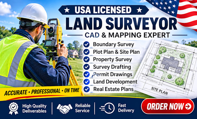
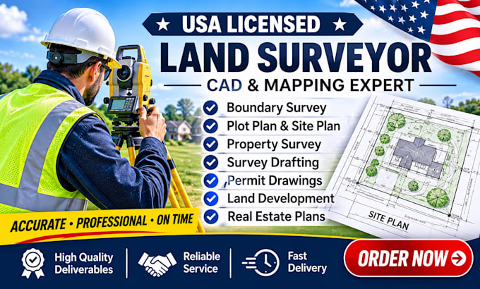
I will provide USA licensed land surveyor, plot plan, site plan for city permit

P
patrick_yates_
P
patrick_yates_
Patrick yates

About this gig

Are you looking for a professional USA licensed land surveyor to prepare accurate property plans and permit drawings?


You're in the right place!

I provide remote land survey drafting, property survey documentation, and site plan preparation for residential and commercial real estate projects across the USA.


My services include:

  • Property maps and permit drawings
  • Plot plans and property site plans
  • Boundary survey drafting and property mapping
  • Site plans for city and building permit applications
  • Land survey and survey plan drafting
  • Vacant land and parcel mapping
  • Land subdivision and development plans
  • AutoCAD and CAD drafting services


WHY CHOOSE MY SERVICES?

  • Professional land surveying expertise
  • Attention to detail and accuracy
  • High quality CAD drawings
  • Clear communication and timely delivery
  • Client satisfaction is my priority


Please contact me before ordering. Share your property location, available survey documents, project requirements, and intended use so I can confirm the appropriate scope of work. Field surveys, signed/sealed documents, and permit certifications are subject to applicable state licensing and authorization requirements.

Delivery style preference

Please inform the freelancer of any preferences or concerns regarding the use of AI tools in the completion and/or delivery of your order.

Get to know Patrick yates

Patrick yates

USA Licensed Land Surveyor, CAD, GIS and Mapping Specialist

  • FromUnited States
  • Member sinceNov 2026
  • Avg. response time1 hour
  • Languages

    English
I am Patrick Yates, a USA licensed Professional Land Surveyor (PLS) and mapping specialist. With years of field and geomatics experience, I provide high accuracy remote surveying solutions, legal deed plotting, and comprehensive GIS real estate due diligence. I specialize in turning complex metes & bounds legal descriptions into precise digital maps, analyzing flood zones, and drafting conceptual site plans. Whether you are an investor, developer, or homeowner, expect elite, code compliant property insights and actionable data to protect your land investments.

My Portfolio