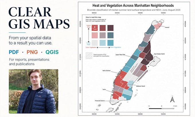
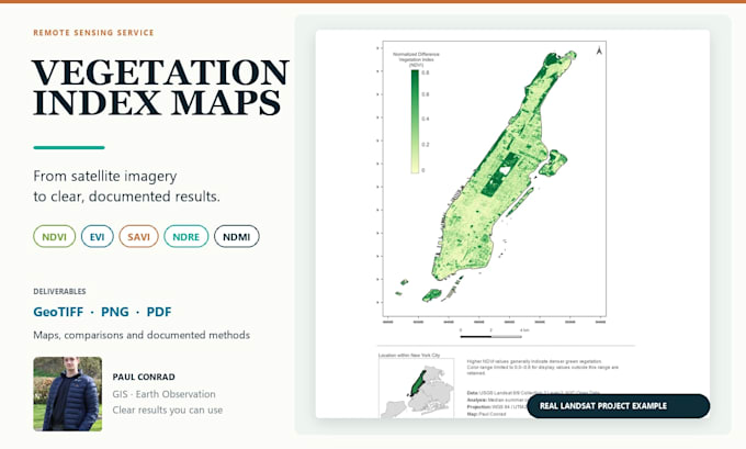
From raw spatial data to results you can understand and use
Germany
English, German
About me
Hi, I'm Paul, an independent geospatial data specialist working across GIS, Earth observation, spatial analysis, and machine learning. With a background in Computer Science and an ongoing Master's in Environmental Informatics, I turn complex spatial data into clear, documented, and reusable results. I focus on transparent methods, realistic project scopes, clear communication, and deliverables you can understand and continue using.... Read more